
Property identity + agencies
Address, parcel number, assessor information, and the city or county departments connected to the property.
Online property-information report
Public property information, in one report.
The Property Information Report organizes useful public information found online. It includes source links and notes what could not be confirmed.

Fixed fee · inquiry first$395
One property. Public information available online on the research date.
- Delivery
- 2–3 business days after written start
- You receive
- Written report with sources
- Meeting
- Not required
Scope boundaryPublic information, not a feasibility decision.
No site visit, measurements, design conclusion, licensed opinion, or approval prediction is included.
See the report
Review a sample before you inquire.
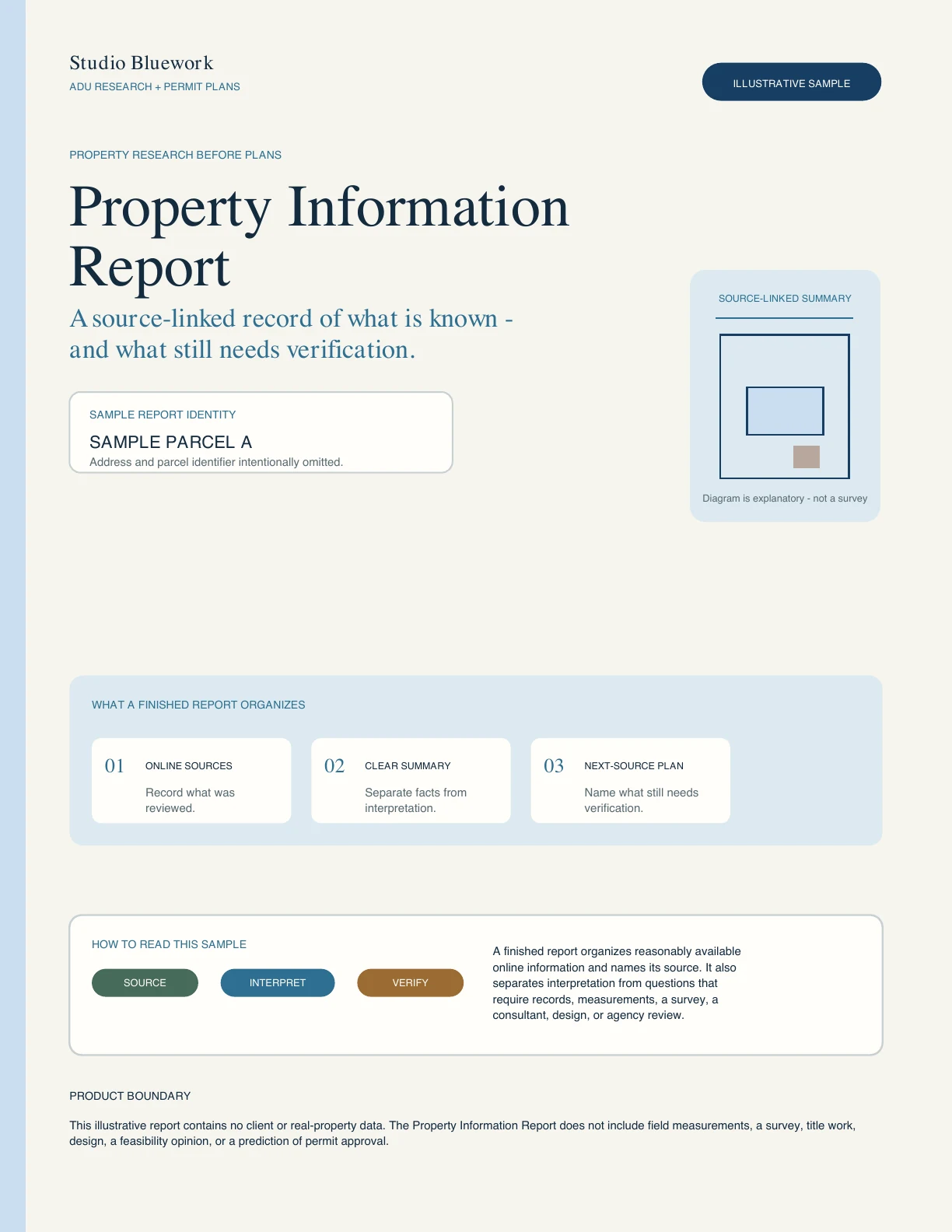
The sample shows how property facts, maps, planning information, permit references, sources, conflicts, and missing information are organized.
- Property summary
- Parcel and zoning information
- Permit and public-record list
- Sources, limits, and where to look next
What is included
Four groups of public information.
Sources are checked as of the research date. The report distinguishes official records, informational sources, conflicts, and missing information.
Maps + planning information
Available parcel, tract, zoning, land-use, overlay, district, and other relevant public map information.
Permits + public cases
Publicly visible building, planning, and case numbers, with downloadable records when available.
Sources + missing information
Source links, retrieval dates, conflicts, unavailable information, and where another record may be found.
How it works
The delivery clock starts after written start.
If Studio Bluework confirms that the report is available and appropriate, the 2–3-business-day delivery period would begin only after coverage is confirmed, both parties sign, payment clears, the applicable no-work period ends, and Studio Bluework sends written start notice. A meeting is not required.
- 01Send the address
Tell us the property and any specific record question. The inquiry is preliminary and nonbinding.
- 02Confirm online coverage
We check whether the city or county publishes enough information for a useful report.
- 03Agreement + invoice
If the report proceeds, both parties would sign the written agreement before Studio Bluework sends a client-specific invoice.
- 04Research + delivery
Cleared payment alone does not begin work. After the no-work period and written start notice, Studio Bluework would organize the public sources and deliver the report.
Not included
Public records cannot answer every project question.
The report is a dated summary of information found online, not verification of field conditions or a licensed-professional conclusion.
Not included
- A decision about whether an ADU can be built or approved
- Site visit, measurements, or confirmation of existing conditions
- A guarantee that every historical or agency record is online
- City or county correspondence, records requests, or meetings
- Design recommendations, test drawings, or conclusions from an engineer or other specialist
- Legal, engineering, financial, title, construction, or other licensed-professional advice
Start with the property
Send the address and your main question.
Alexis reviews the service area and available online records before recommending a next step. The inquiry does not accept payment or create an engagement.
Tell us about the property If the report proceeds, both parties sign before a client-specific invoice is sent.