
Evidence before inference
Three kinds of information.
What the online record says
A source label, link, and review date accompany each completed entry. Records can change or conflict.
How the record can be read
A bounded interpretation may organize a pattern or conflict. It does not make an online record a field-verified fact.
What the record cannot establish
Some questions need measurements, plans, title research, a survey, a consultant, utility information, or agency review.
Illustrative source map
Where property information can come from.
| Source category | What it may contribute | Boundary |
|---|---|---|
| County property record | Property identity, use, and recorded characteristics | Source |
| Local planning map | Jurisdiction and mapped planning designations | Source |
| Permit or building index | Online permit and record references reasonably available | Source |
| Recorded document index | Documents that may warrant retrieval or separate title review | Verify |
| Hazard or infrastructure map | Mapped context; a site-specific effect may require follow-up | Interpret |
| Utility information | A general map does not establish availability or capacity | Verify |
Coverage varies. A missing online item is not evidence that no record exists. It is a prompt to identify the next source.
Address-free sample layout
What the summary can organize.
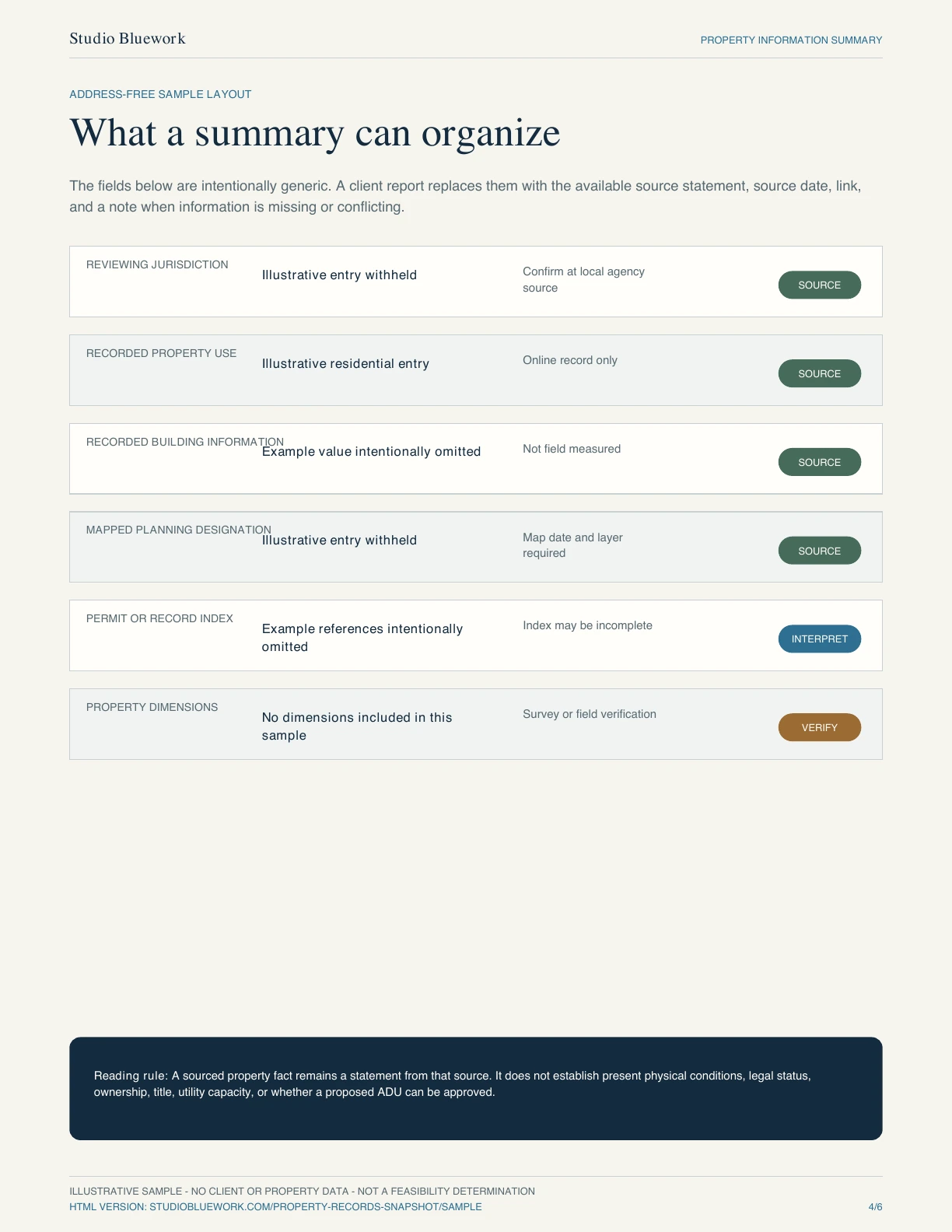
| Field | Sample entry | Limit | Boundary |
|---|---|---|---|
| Reviewing jurisdiction | Illustrative entry withheld | Confirm at local agency source | Source |
| Recorded property use | Illustrative residential entry | Online record only | Source |
| Recorded building information | Example value intentionally omitted | Not field measured | Source |
| Mapped planning designation | Illustrative entry withheld | Map date and layer required | Source |
| Permit or record index | Example references intentionally omitted | Index may be incomplete | Interpret |
| Property dimensions | No dimensions included in this sample | Survey or field verification | Verify |
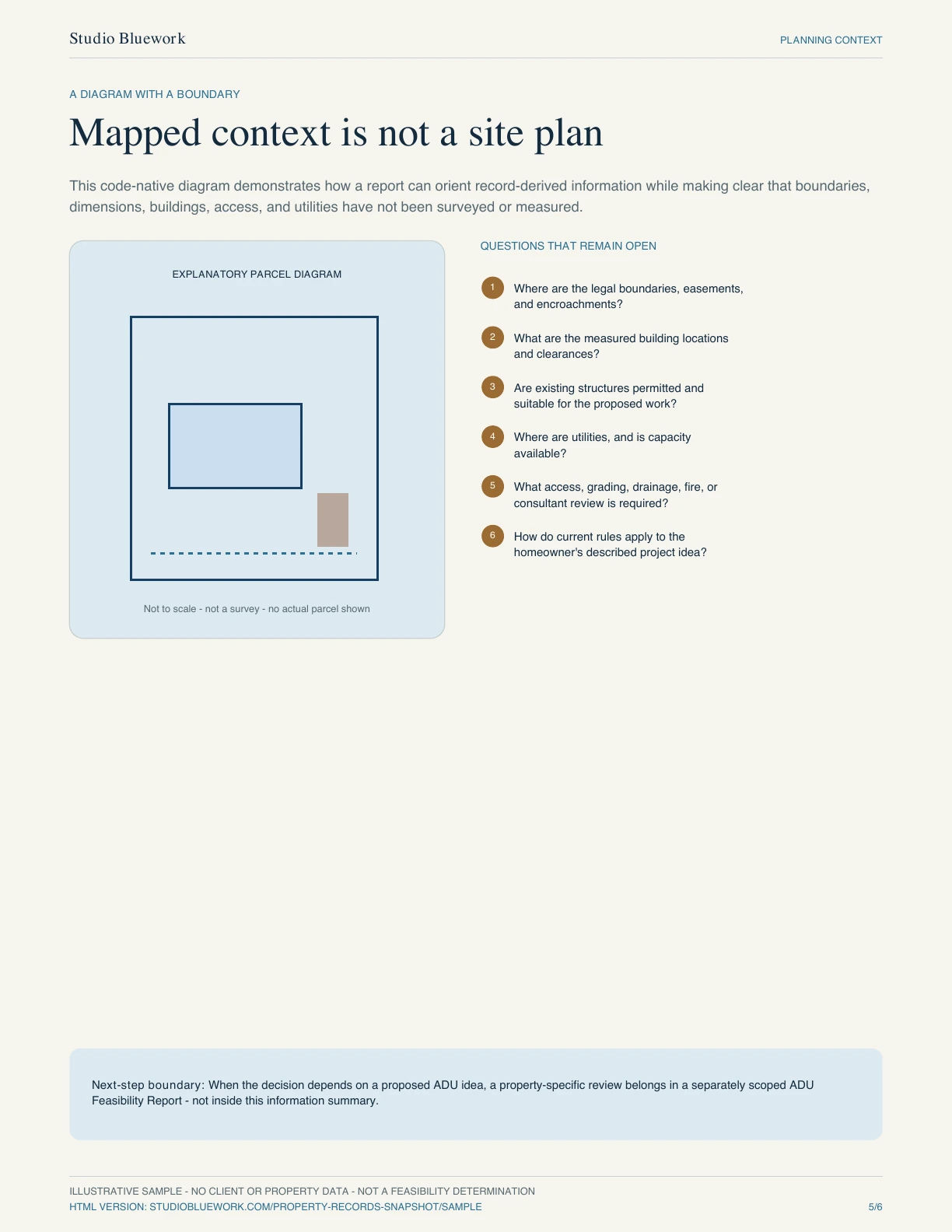
A diagram with a boundary
Mapped context is not a site plan.
Questions that remain open
- 01
Where are the legal boundaries, easements, and encroachments?
- 02
What are the measured building locations and clearances?
- 03
Are existing structures permitted and suitable for the proposed work?
- 04
Where are utilities, and is capacity available?
- 05
What access, grading, drainage, fire, or consultant review is required?
- 06
How do current rules apply to the described project idea?
Next-step boundary: When the decision depends on a proposed ADU idea, the property-specific review belongs in a separately scoped ADU Feasibility Report—not inside this information summary.
Known, unknown, verify
Turn missing information into a next step.
- 01
Known — carry it forward with its source
Keep the source statement, review date, and link together. Recheck time-sensitive information before relying on it.
- 02
Unknown — name the missing evidence
Record what could not be found online, what conflicts, and why the gap matters to the homeowner's decision.
- 03
Verify — assign the smallest useful action
Request a record, measure a condition, obtain a survey, consult a specialist, or ask the reviewing agency.
What this product is
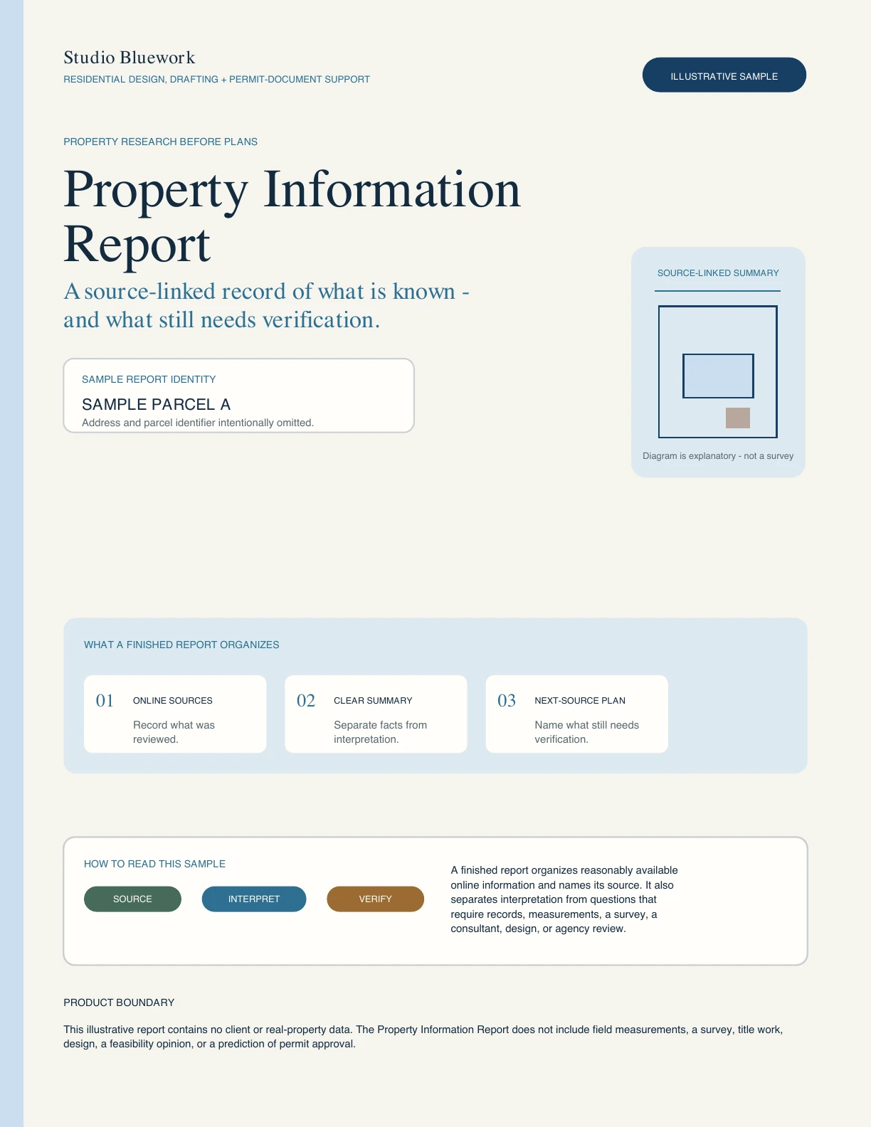
An organized, source-linked summary of relevant online property information reasonably available for the confirmed service area. It shows what was found, what was not found, and what may need verification.
What this product is not
It is not a survey, title report, site inspection, field measurement, building design, structural or utility review, project-specific feasibility opinion, legal opinion, agency determination, or permit-approval prediction.