
What an assessor map can tell you
An assessor parcel map can help identify a parcel number, nearby lots, recorded dimensions, tract or parcel references, and the general relationship between properties. It is often one of the most useful early documents in a property-information review.
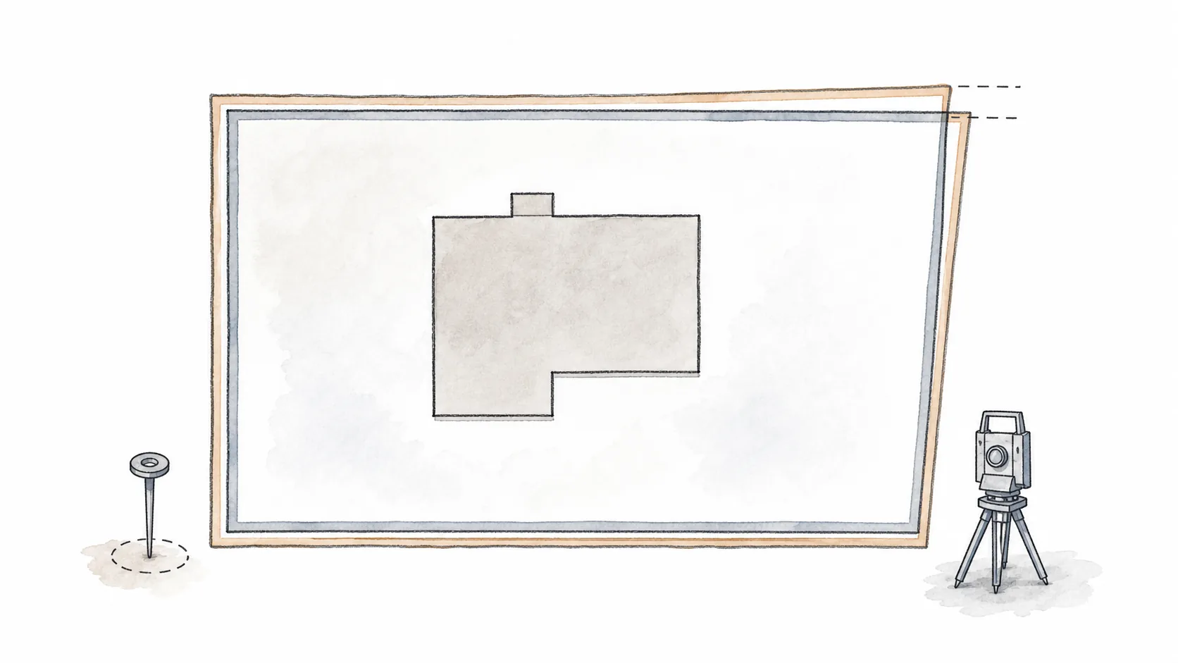
Los Angeles County’s mapping guidance says assessor maps are not surveys and may not agree with ground measurements. Keep that in mind before using a dimension on the map to place a wall or decide how much space you have.
Ask for the survey information your project needs
A boundary survey is professional field work tied to monuments, records, measurements, and the surveyor’s analysis. Depending on the assignment, it may locate property lines, corners, easements, visible improvements, topography, and other conditions needed for design or construction.
Not every survey includes the same information. A boundary survey, a topographic survey, and construction staking serve different purposes. Before requesting a quote, explain what the project needs located, whether that is a property corner, a slope, a wall, or another feature.
- Property corners and boundary lines
- Fences, walls, structures, and pavement near setbacks
- Easements or access areas relevant to the project
- Topography, grade changes, and retaining conditions
- Benchmarks or control needed for later design and construction
Why the distinction matters for an ADU
ADU decisions frequently depend on relationships: the distance from a proposed wall to a property line, the space between buildings, fire access, utility routing, drainage, or the location of an existing garage. A map image can suggest those relationships without measuring them accurately.
If a proposed wall is close to a property line, a small difference can matter. You do not want to develop a layout around space that turns out not to be available. Identify that question early so the right field information can be gathered before the design goes further.
Fences and online aerials are clues, not boundaries
Owners often assume a fence marks the property line. It may, but it can also sit inside the lot, cross a boundary, follow a practical line rather than a legal one, or have been rebuilt without reference to survey monuments.
Online aerial photography adds another layer of uncertainty. Imagery can be distorted, dated, or slightly misaligned with parcel overlays. It is useful for orientation and questions, not for precision dimensions or legal conclusions.
- Do not scale construction dimensions from a web map screenshot
- Do not assume a fence or wall is on the property line
- Do not infer an encroachment from a misaligned aerial overlay alone
- Do record where the proposed project depends on a boundary
- Ask a surveyor what is needed when the design depends on the boundary
Keep the source and its limits together
Keep the assessor map, parcel number, source link, and access date together. Label dimensions taken from records so they are not mistaken for measurements from a site visit. Then note which parts of the proposed project need a survey before they can be developed.
That gives you a practical reason for the survey: a specific question the existing records cannot answer. The public records are still useful. They just do not replace the surveyor’s work.
Use an assessor map for parcel information. When the design depends on the exact property line, ask a surveyor what needs to be confirmed.
Official sources and useful references
Links checked September 8, 2026. Confirm that the current guidance applies to your property when you use it.
Have a project in mind?
Share your idea and what is still unclear. We’ll help you find the right starting point.
This article provides general educational information. Property records, site conditions, required specialists, and city or county review may change the answer for a specific project.