
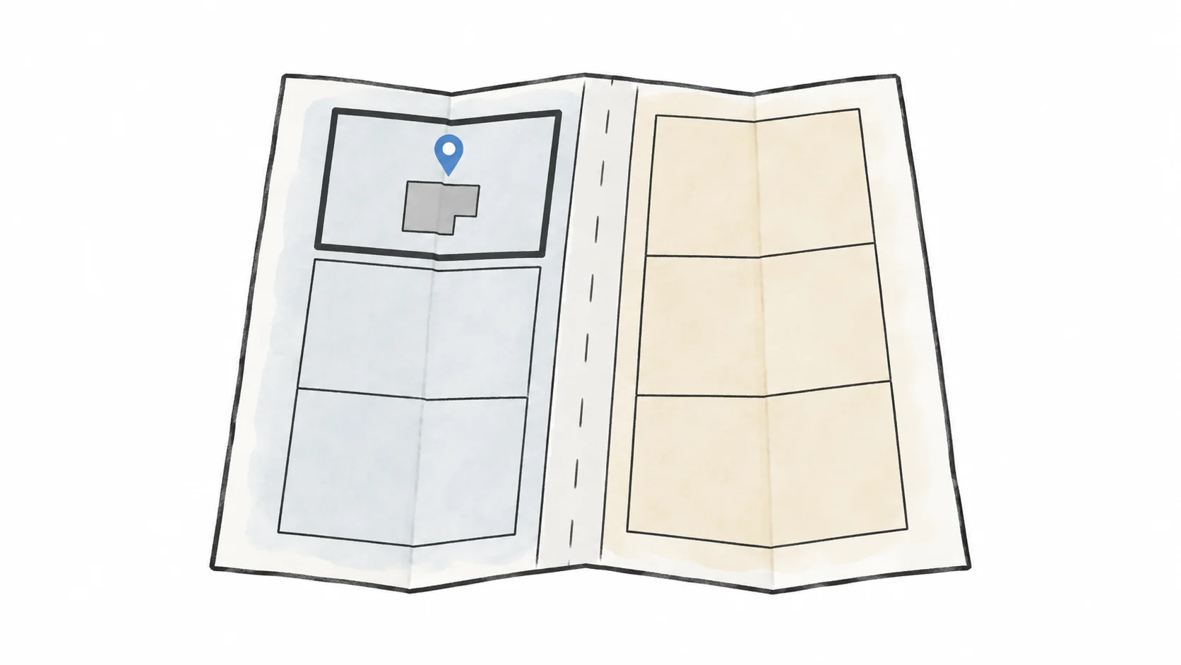
A mailing city is not always the permitting city
It is natural to look at your mailing address and assume that city handles your permits. But parts of Los Angeles County are unincorporated, even when the address uses a familiar city or community name. The parcel location is what you need to check.
Knowing the right agency tells you where to look for zoning, which forms to use, and where the plans go. Otherwise, you can spend time reading requirements that do not apply to your property.
Find your address and parcel number on an official map
Begin with the street address, then confirm the assessor parcel number and the parcel shown on an official map. Similar addresses, corner lots, recently created parcels, and properties near a city boundary deserve extra attention.
Los Angeles County Planning provides a Find My Zoning tool for unincorporated properties. The City of Los Angeles provides ZIMAS for parcels within the city. If the reviewing agency remains unclear, use the parcel number and compare official map information instead of relying on a general web search.
- Street address and unit designation, if any
- Assessor parcel number
- Incorporated city or unincorporated County designation
- Planning and building agency names
- Official zoning and land-use map sources
The reviewing city or county changes the permit path
Two parcels can share a zoning abbreviation yet move through different departments, online portals, forms, fees, and local review practices. Fire, public works, sanitation, utilities, coastal, historic, or other overlays may also involve agencies beyond the basic planning and building departments.
You do not need to learn every department at once. Start with who handles planning, who reviews building plans, and which utilities serve the property. Then identify any other offices your particular project may involve.
If the maps disagree, do not guess
Take a closer look if the property is near a city boundary, two maps disagree, or the address and parcel number do not match. Keep a note of the conflict and ask the relevant agency to clarify it before relying on one result.
The same is true when a map identifies the reviewing agency but the project involves a condition the map cannot answer: a private road, easement, septic system, slope, flood area, protected resource, or disputed property line. Confirming the agency is a starting point, not the end of the property review.
- The property is close to a city boundary
- Different public sites identify different agencies
- The address and parcel number do not align cleanly
- The project may depend on utilities, access, or easements
- A survey, title document, or direct agency confirmation may be needed
Create a one-page property and agency record
Save the address, parcel number, city or county, map links, source dates, and the name of each likely reviewing agency in one place. Keep the original links because public mapping systems and procedures change.
Having those details in one place makes the next conversation easier. You can share the same parcel and agency information with whoever helps review the ADU idea or prepare the plans, along with any question that is still unanswered.
Confirm the parcel and the city or county that reviews permits before relying on zoning, ADU rules, fees, or application steps.
Official sources and useful references
Links checked September 8, 2026. Confirm that the current guidance applies to your property when you use it.
Have a project in mind?
Share your idea and what is still unclear. We’ll help you find the right starting point.
This article provides general educational information. Property records, site conditions, required specialists, and city or county review may change the answer for a specific project.